

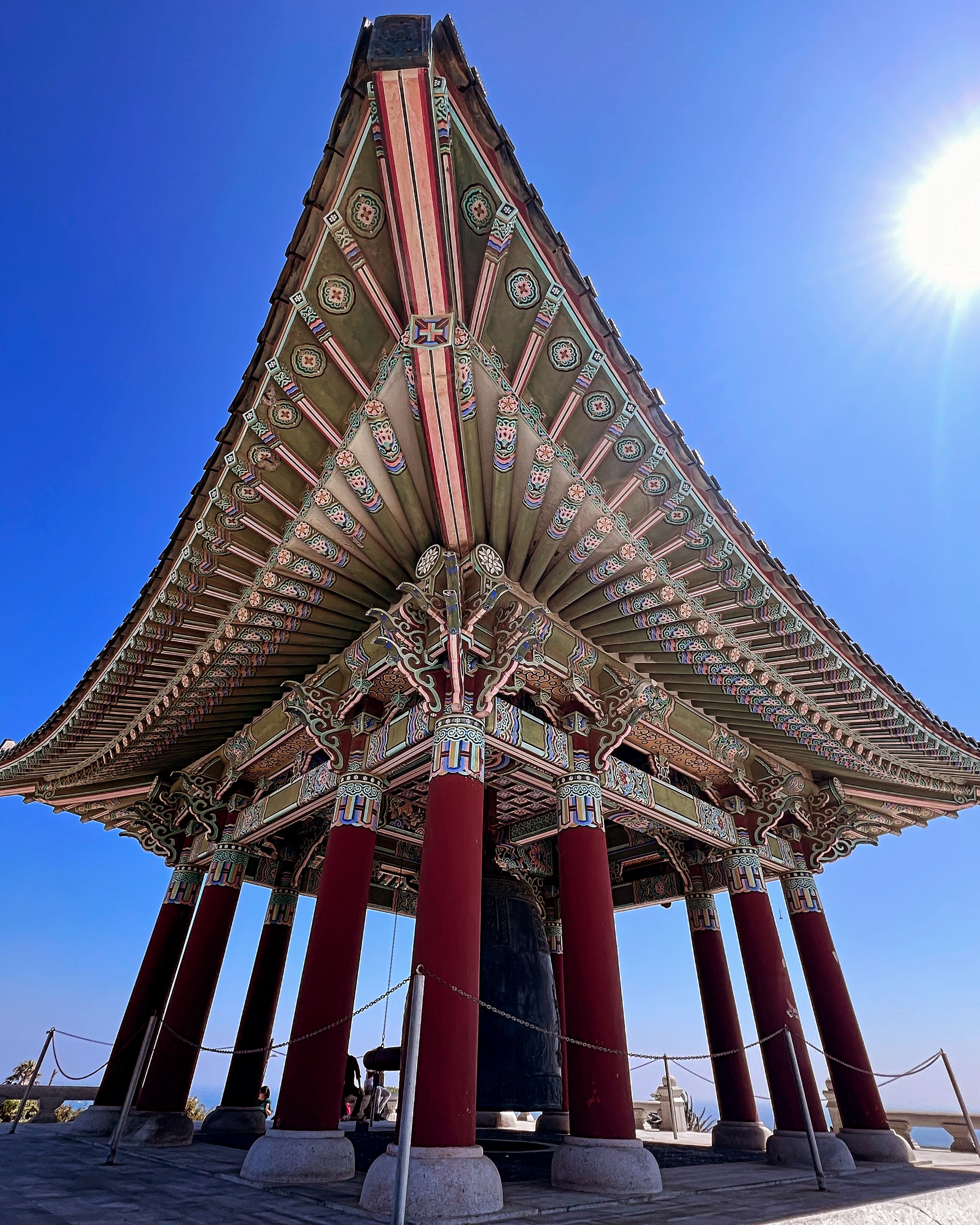
Palisades Homes for Sale, San Pedro
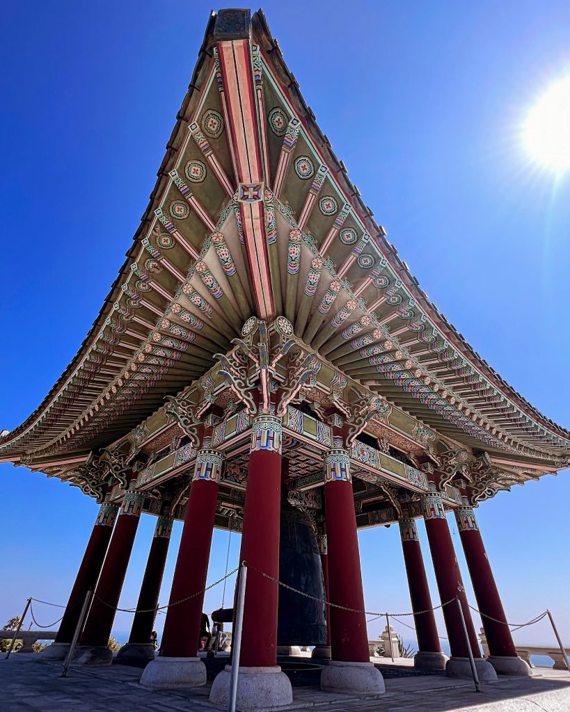
The Palisades is the bluff-top neighborhood on the western side of San Pedro, where Paseo del Mar runs along the top of a cliff above White Point and Royal Palms and the streets behind it climb toward 25th Street and Western Avenue. It is the part of San Pedro that faces Catalina rather than the harbor, and the part where the ground itself is the first thing to understand.
In CRMLS it is listed as Palisades, one of six San Pedro areas the MLS breaks out separately.
Where exactly is the Palisades?
Commonly described, it runs from the coastal bluff at Paseo del Mar north to about 25th Street, between Western Avenue and the Point Fermin blocks to the east. It sits inside the Coastal San Pedro Neighborhood Council, whose boundary starts at the shoreline on the Rancho Palos Verdes city line, and inside Los Angeles City Council District 15. The San Pedro Community Plan lists the Palisades among the coastal neighborhoods that were essentially built out by the mid 1960s, so the stock is largely postwar single-family homes on a hillside grid, with the bluff-front lots on Paseo del Mar the scarce ones.
Live MLS listings, updated through the day.
What happened to Paseo del Mar?
On November 20, 2011, roughly 420 feet of Paseo del Mar between Weymouth Avenue and White Point slid 53 feet toward the ocean. The City’s Bureau of Engineering completed emergency work in 2015 and has a permanent restoration project on the books, with a single-span bridge identified as the most feasible alternative and the design still awaiting funding, per the Bureau of Engineering project page. As of this writing the road remains closed at the slide, and no primary source we have found confirms a reopening date.
For the neighborhood the consequence is practical rather than dramatic. Through traffic on the bluff road is gone, which residents on either side of the gap have noticed in both directions. The Community Plan environmental review maps landslide zones along San Pedro’s western and southern coastal cliffs and identifies liquefaction zones along the coastline west of White Point Park, per the geology section of the plan EIR. On a bluff-front parcel that is the report to read first. On the blocks above 25th Street it is a different conversation, and the parcel record settles which one you are having.
What is at White Point?
Two things, run by two governments. White Point Nature Preserve, 1600 West Paseo del Mar, is 102 acres of restored coastal sage scrub on a former Nike missile site, owned by the City of Los Angeles and managed by the Palos Verdes Peninsula Land Conservancy under a 25-year agreement signed in 2001; the Nature Education Center opened in May 2010 and is open Saturdays and Sundays 10 am to 3:30 pm. Below the bluff, White Point and Royal Palms Beach, 1799 Paseo del Mar, is a Los Angeles County beach open dawn to 8:30 pm with tide pools and lifeguards, and with parking limited by the Clearwater tunnel project through 2027.
Does the coastal zone apply here?
Yes. San Pedro has a certified Land Use Plan but no fully certified Local Coastal Program, so the City issues local coastal development permits and, where a parcel falls in the dual permit jurisdiction, the California Coastal Commission issues a second one. Single or dual is a parcel-level answer from the City ZIMAS lookup, and it changes the timeline on any exterior work.
Which schools serve the Palisades?
The Palisades is inside the Los Angeles Unified School District. The nearest schools are White Point Elementary at 1410 Silvius Avenue, Richard Henry Dana Middle School at 1501 South Cabrillo Avenue and San Pedro High School at 1610 South Leland Street. Attendance assignment is by address and changes; confirm any specific address with LAUSD’s resident school lookup rather than a listing or this page.
What should buyers verify here?
The parcel’s position relative to the mapped landslide and liquefaction zones. The coastal permit jurisdiction. Fire hazard severity, which the current City and state mapping places over the White Point open space rather than the residential blocks, but which is parcel-specific and worth confirming on the state map. And the city line: west of Western Avenue is Rancho Palos Verdes, with a different city hall and a different school district, and the two cities’ addresses can read almost identically.
Working with a Palisades agent
Chhabria Real Estate Company has sold homes on the Palos Verdes Peninsula and in the Beach Cities since 1984, and the Palisades shares its bluff with the Peninsula’s south coast. If you are weighing a specific address here, we are glad to walk it with you, including the closed stretch of Paseo del Mar.
Continue exploring
Live MLS listings, updated through the day.
Have a question about this? Neil answers personally.