

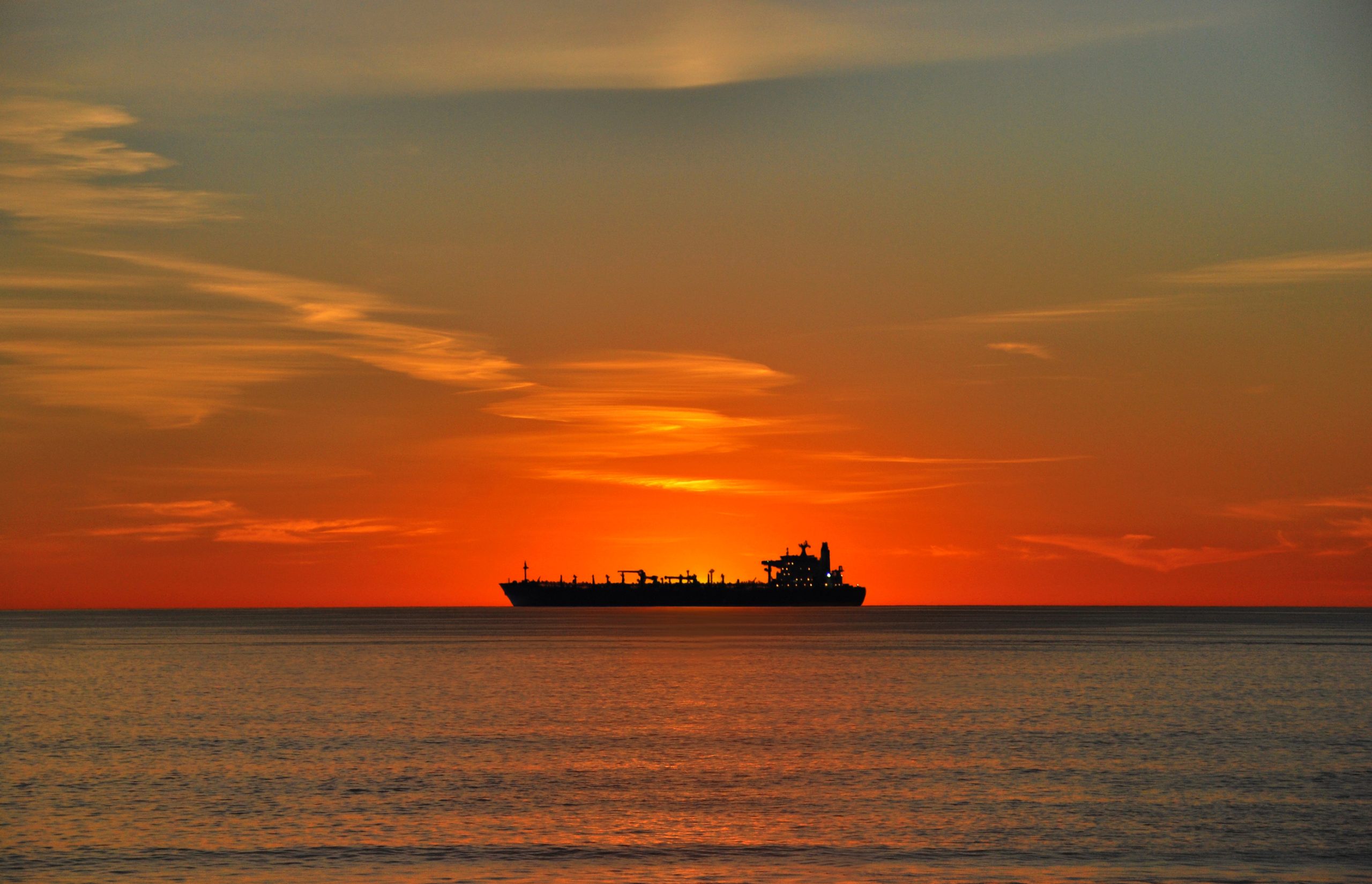
El Porto Homes for Sale, North Manhattan Beach
El Porto occupies the northernmost stretch of the Manhattan Beach coastline. It runs from 45th Street on the north to 38th Street on the south, with Crest Drive as the eastern edge.
It has two names and a jurisdictional history that still shapes it, and it carries the most permissive building rules in the city.
Why does El Porto have two names?
Because the City renamed it and the original name stuck anyway.
El Porto was unincorporated Los Angeles County until it was annexed to Manhattan Beach in November 1980. In 2008 the City Council renamed it North Manhattan Beach. Both names remain in active use, including in listings, so a search for one may miss properties filed under the other.
The City’s General Plan recognizes it as a neighborhood under the combined heading “North End and El Porto.”
How does the MLS treat El Porto?
Unusually. El Porto sits geographically inside the Sand Section’s search area, but the MLS lists it separately under an alpha code rather than a number. Every other Manhattan Beach area carries a numeric designation.
The practical effect is that a property here may surface under the El Porto designation, under the Sand Section, or under North Manhattan Beach depending on how it was entered. If you are searching this stretch, search all of them.
What can you build in El Porto?
El Porto is Area District IV, and it is the only part of the city in that district. It is zoned high density residential only, with:
- Minimum lot area 2,700 square feet
- Minimum lot width 30 feet
- Maximum height 30 feet
- Buildable floor area factor 1.70
That floor-area factor is the highest in Manhattan Beach, above the Sand Section’s 1.60 and well above the formula that governs the Hill and Tree Sections. Small lots, tall limit, and the most generous ratio of building to land anywhere in the city. That combination explains the density of what has been built here.
These standards cannot be loosened without a citywide vote.
How do coastal permits work here?
Differently from The Strand, and this is the most useful thing on this page.
Manhattan Beach has issued its own coastal development permits since its Local Coastal Program was certified on 12 May 1994. Within the coastal zone, though, some areas are appealable to the California Coastal Commission and some are not.
Both El Porto permits examined in our research were issued in the non-appealable portion of the coastal zone. That is a materially shorter and more predictable path than a Strand or Ocean Drive project, where a permit is not effective until every appeal, including one to the Coastal Commission, has been exhausted.
One caution: the line dividing appealable from non-appealable areas is published as a map rather than a street description, so it cannot be stated precisely in text. Confirm the status for a specific parcel with the City before relying on it. The distinction is real and worth checking, not worth assuming.
Do the tree removal rules apply?
No. The City’s private-property tree protection ordinance applies to Area Districts I and II. El Porto is Area District IV, so it falls outside the ordinance entirely, as does the Sand Section.
Street and parkway trees still require a Public Works permit anywhere in the city.
What about parking?
The El Porto parking lot is County-owned with 238 spaces, operated and maintained by the City. It was created in 1956 on a former Pacific Electric railway right-of-way and runs roughly from 40th to 45th Street, with the vehicle entrance at the west end of 45th Street.
For a stretch of coastline this narrow, a lot of that size is a significant feature, and it shapes both beach access and street conditions nearby.
Which schools serve El Porto?
Manhattan Beach Unified serves the entire city and publishes per-address elementary attendance boundaries, unlike neighboring Redondo Beach Unified.
District elementary schools are Grand View (455 24th Street), Meadows (1200 Meadows Avenue), Pacific (1200 Pacific Avenue), Pennekamp (110 South Rowell) and Robinson (80 Morningside Drive). Mira Costa High School is at 1401 Artesia Boulevard. Confirm assignment for a specific address with the district.
Working with an El Porto agent
El Porto rewards knowing its particulars: two names in circulation, an MLS designation that behaves unlike the rest of the city, the most permissive building envelope in Manhattan Beach, and a coastal permit path that differs from The Strand a mile south. If you are buying or selling here, we are glad to walk a specific address with you.
Continue exploring Manhattan Beach
- Sand Section – the coastal strip, walk streets and The Strand
- Tree Section – where the tree ordinance began
- Hill Section – the largest lots in the city
- Manhattan Village – the only gated community in the three beach cities
- Manhattan Heights and Liberty Village – north of the boulevard
- Mira Costa area – south of the boulevard, with Hill Section lot standards
- Manhattan Beach overview – how the sections compare
This content is currently unavailable. Please check back later or contact the site's support team for more information.